
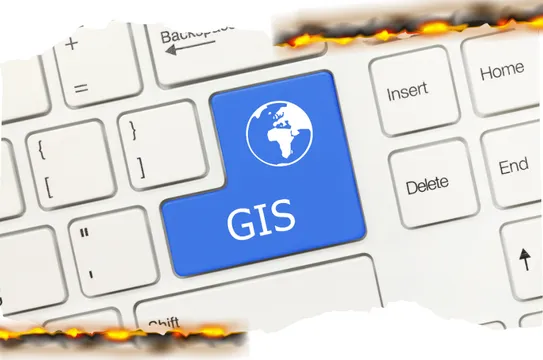
gis mapping
Geographic Information System (GIS) Mapping provides spatial data analysis and visualization to aid in effective fire management, environmental conservation, and land-use planning. We offer high-precision mapping services for resource assessment and strategic planning.
Benefits of GIS Mapping:
Enhanced Decision-Making:
Provides accurate geographical insights for planning.Fire Risk Assessment:
Identifies high-risk areas for targeted mitigation.Resource Management:
Optimizes land use and environmental conservation.Real-Time Monitoring:
Tracks environmental changes and wildfire behavior.Disaster Preparedness: Aids in emergency response planning and evacuation strategies.
Infrastructure Planning: Supports the development of sustainable land management systems.

© Copyright 2026. Attack One Fire Management Services Inc. All Rights Reserved.